A co-designed, ‘bottom up’ approach The involvement of Scottish skippers in BATmap is key, and this innovative approach would not work without their buy-in or expertise. They have been involved in the design of BATmap from the outset.
The inclusion of spurdog illustrates the benefits and flexibility of this co-design process. They are a protected species that cause by-catch issues in some west of Scotland fisheries at certain times of the year. Skippers recognised that BATmap could let them share information about local abundances of spurdog and improve spatial avoidance of the species.
Any Scottish skipper fishing for whitefish on the west of Scotland can use BATmap providing they agree to contribute data. This bottom-up approach will put data into the hands of skippers to help them make more informed decisions at sea.
An industry-led, cooperative solution BATmap’s cooperative approach reflects the fishing industry’s shared commitment to avoiding by-catch. The project is a first for the UK and Europe, and is a great example of innovative collaboration between industry and science.
BATmap is working with fisheries experts worldwide to develop a system that works for Scottish fisheries.
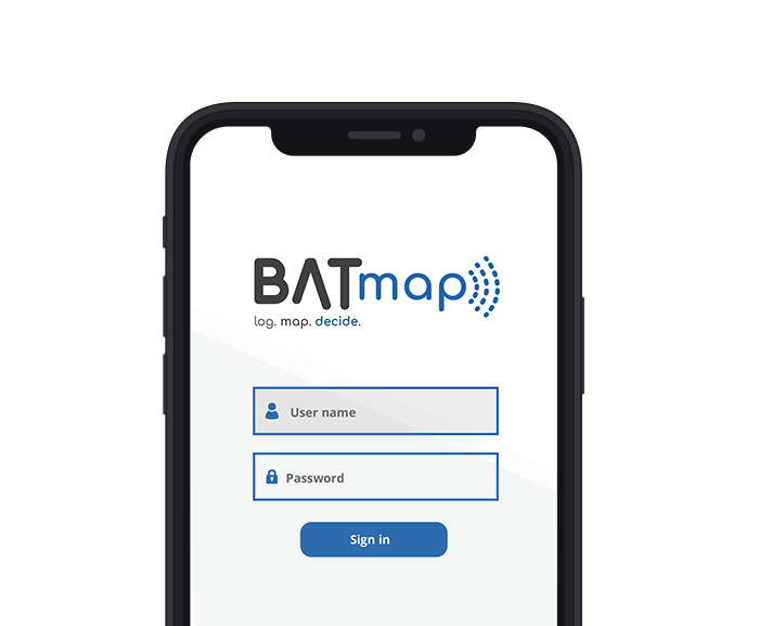
About the App BATmap is a web-based app that can be used on phones (iOS and Android), tablets and desktops. Skippers use the app to log the start and end time of a haul, and the total catch (kg) of cod, whiting and spurdog.

Catches and alerts are displayed on a map as a series of ‘hexbins’. These hexbins are graded in colour to help visualise areas of low by-catch and areas of high by-catch.
The map has a number of functions that allows skippers to view catch and alert information in a range of different ways. They can control the following elements:
- Selection of individual species (cod, whiting, spurdog)
- Zoom function to view catches at different resolutions The date range over which the catch can be aggregated and viewed (1 day, 1 week, 1 month, etc)
- Vessel tracks allow the user to overlay their tow tracks through the catch hexbins
Skippers on the west coast of Scotland are trialling a bespoke software system to record hauls of unwanted species in ‘real-time’. If catches are higher than an agreed threshold, an automatic alert is triggered informing other participating vessels so they can avoid these areas.
What's the problem?
A mixed fishery exists where different species mingle on the fishing grounds, making it difficult to target one species without catching others. In the west of Scotland mixed fishery a single haul typically contains a mix of species including cod, haddock and whiting.
A decline in abundance of cod and whiting has led to zero-catch scientific advice for these species from ICES. To continue fishing healthy stocks in the area, such as haddock and monkfish, by-catch measures for cod and whiting have been introduced by the EU.
The EU Common Fisheries Policy aims to eliminate discarding of fish at sea through a policy known as the Landing Obligation, where all quota-managed fish caught must be brought to shore. The Landing Obligation can result in a phenomenon known as ‘choking’ whereby vessels having to stop fishing when the most limiting quota is caught, thus ‘choking’ or closing the fishery prematurely. In the west of Scotland fishery, cod and whiting currently act as ‘choke’ species.
The Landing Obligation incentivises skippers to avoid encountering ‘choke’ species in the first place through better spatial selectivity.
Using real-time reporting to avoid unwanted catches Real-time reporting is the rapid, semi-automated collation, processing and dissemination of catch data to improve decision-making at sea. Developed by the fishing industry in Alaska in the mid-1990s, it has been successfully used to meet strict Federal limits on salmon by-catch for over two decades.
In Alaska, a ‘cooperative’ of fishing vessels share information with each other via automated software. Skippers report their catches of chum and chinook salmon shortly after each haul comes onboard. If the catch is above an agreed threshold an alert is triggered and automatically sent to all participating vessels.
This real-time information enables skippers to avoid fishing in areas where salmon by-catch is high thereby complying with Federal legislation. It is also used by the cooperatives to designate temporary area closures (known as “rolling hotspots”) where high catch rates of salmon are recorded.
What is BATmap?
BATmap, or By-catch Avoidance Tool using mapping, is an app for Scottish skippers to share real-time information with each other about the location of hotspots of fish species that are choke species (e.g. cod, whiting) or of conservation interest (spurdog).
Log. BATmap collects data from participating vessels. Position data are automatically reported via satellite network, and catch data are collected from the mobile app.
Skippers report the start and end time of a haul, the location, and the total catch of cod, whiting and spurdog.
Map. If the catch of a given species exceeds a set threshold, an alert is sent to all participating vessels.
The alerts are displayed on a map showing the time and location of the catch and the amount of bycatch.
Decide. These real-time data allow skippers to make informed decisions about where to fish and provide information that can improve spatial avoidance of by-catch.
Frequently Asked Questions about BATmap
- How secure is the data and who is it shared with?
- What information is being shared?
- How is a vessel’s position recorded?
- How do I download the app and start using it?
BATapp: user guide and instructions
- How do I enter the details of a new catch?
- What information can I find out about each catch?